
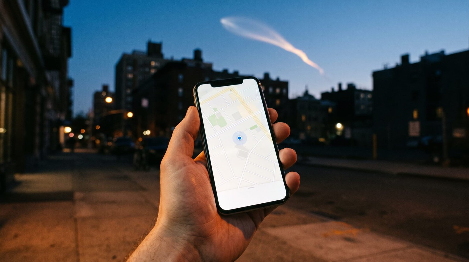
If your phone’s map has ever put you on the wrong side of the street, the usual suspects are close to the ground: buildings, trees and signals bouncing off walls. A new study is a reminder that the trouble can also start more than 30 miles overhead, in a layer of the atmosphere every GPS signal has to cross.
That layer is the ionosphere, and NASA’s Artemis II launch on April 1, 2026, shook it hard. Ground stations picked up changes equivalent to GPS positioning errors of several meters, Space.com reported on November 4, 2026.
Two 3,100-mile scars across North America
The research team, led from National Cheng Kung University in Taiwan, tracked the launch with data from about 3,500 ground stations, according to the preprint posted for the journal Geophysical Research Letters.
They found two holes in the ionosphere. One trailed the rocket’s core stage. The other came from two upper-stage burns that sent the Orion capsule toward the moon. Both stretched about 3,100 miles from east to west, and the disturbance was up to ten times stronger than those seen after SpaceX’s Starship test launches.
Co-author Charles Lin told Space.com that an error of just a couple of meters is enough to nudge a self-driving car into another lane, and that drones could be affected too.
The good news: rocket effects fade fast. Severe solar storms can disrupt GPS signals for days, while a launch’s mark on the ionosphere is much more short-lived.
Why the sky can move your blue dot
Your phone finds you by timing signals from satellites orbiting about 12,550 miles up. When the number of free electrons in the ionosphere changes, those signals arrive a little early or late, and the math puts you somewhere you’re not.
Google researchers call the ionosphere one of the largest sources of error in satellite navigation, and most phones use a simple correction that removes only about half of it. On a calm day, a basic GPS receiver is accurate to about a meter or less, according to NOAA’s Space Weather Prediction Center. During a severe space weather storm, the error can grow to tens of meters.
What to check when the map gets it wrong
Most days, the sky isn’t to blame. GPS.gov lists signal blockage from buildings, bridges and trees, indoor or underground use, and signals reflected off walls as the common causes. Major solar storms appear on its list of far less common ones.
So step away from tall buildings and give your phone a clear view of the sky. If your dot looks right but the destination pin doesn’t, the problem may be the map itself: GPS.gov also flags mislabeled businesses and incorrectly estimated street addresses. And if you’re curious about space weather, NOAA posts current conditions at swpc.noaa.gov.
Lin expects these launch effects to matter more as missions to the moon and Mars pile up.
Next time the blue dot jumps a block, check what’s around you before you blame your phone.